10/9 – 10/12/20
10-9
It was a gorgeous fall day, sunny and warm. The colors were just past peak. The river was at an ideal level. All told, it was a perfect day to kayak – or would have been, if I hadn’t been using my inflatable.
I have two kayaks. One – my vessel of choice – is a battered sun dolphin, much duct-taped but reasonably comfortable. The other is the inflatable, used only on road trips. As readers of some of my older posts know, the inflatable is a curious cross of pool float and iron maiden. I have never been able to use it for more than a couple hours without wracking cramps.
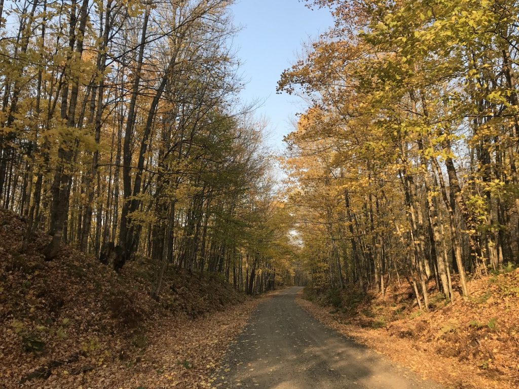
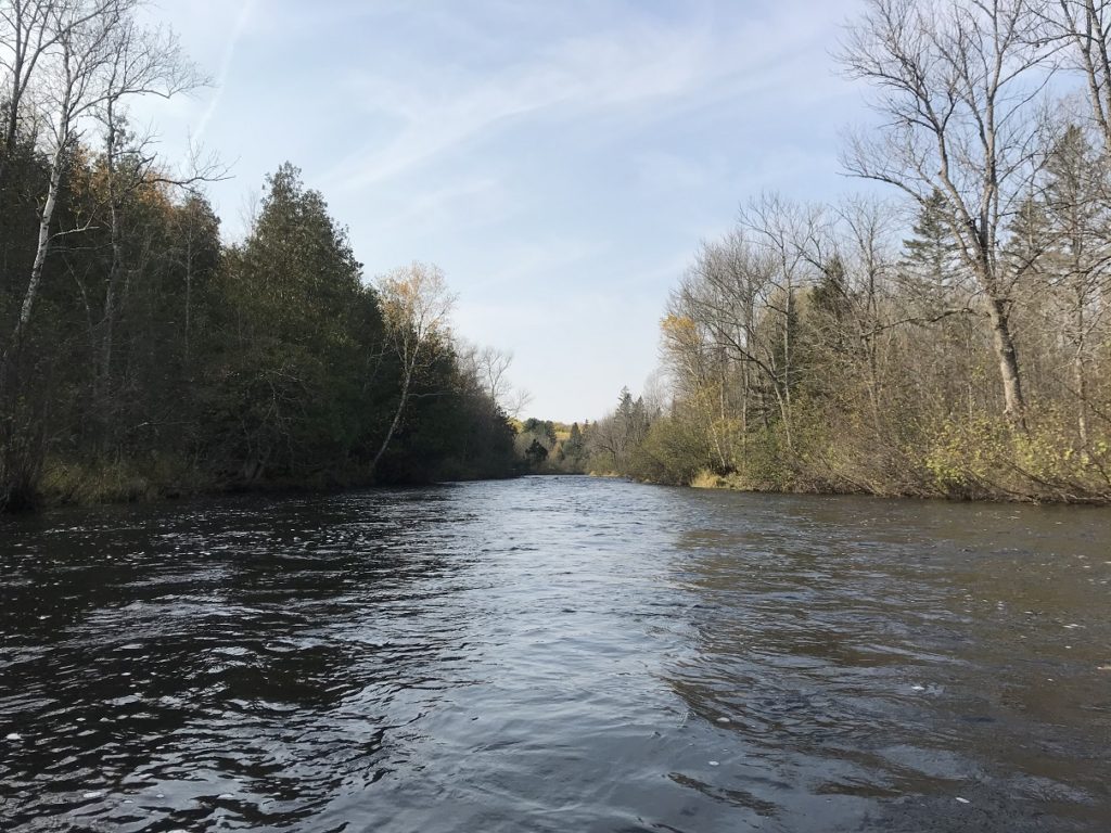
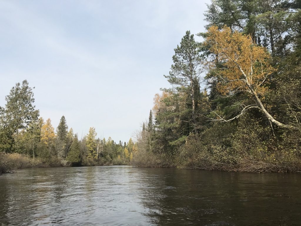
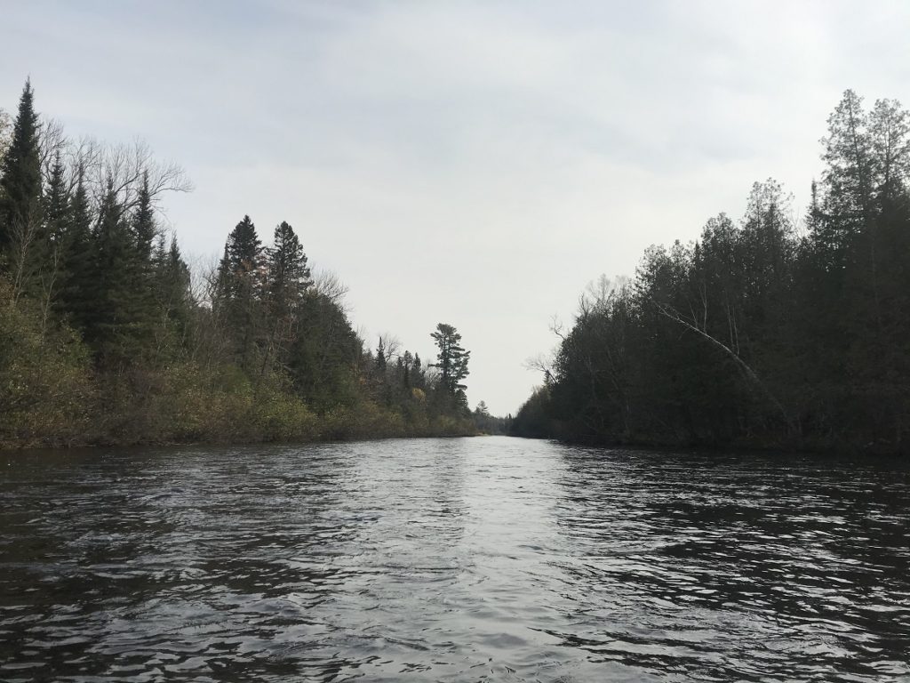
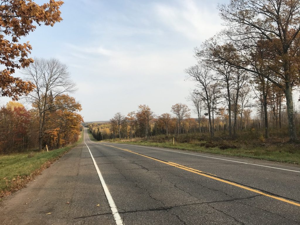
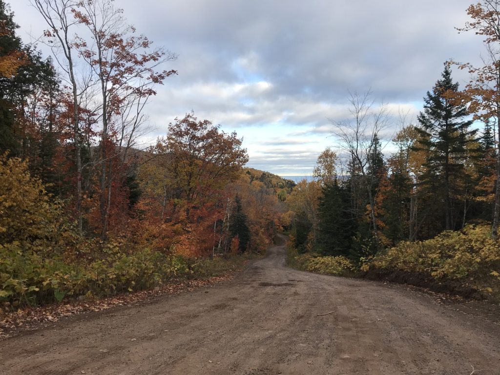
But the inflatable was what I had. And so, after leaving my bike just outside the flyspeck town of Florence, WI, I headed down a gravel road tunneled by golden birches, pumped up the kayak, and launched onto the Brule River. The Brule, which forms part of the boundary between Wisconsin and the Upper Peninsula of Michigan, is a pleasant wilderness stream. Riffly and swift, seldom more than fifty feet wide, it runs through unspoiled marshes and woods before flowing into the Menominee River.
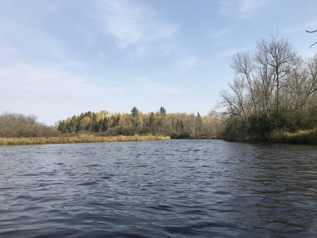
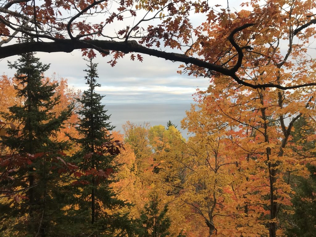
Despite my confining craft, it was hard not to enjoy the ride. Hazy sunlight gilded the trees and played on the tannin-dyed water. Dead grass sighed in the warm breeze and bent the branches of fragrant cedars. Along the ridgelines, maples burned. It was a landscape, in short, with all the fragile beauty of a Midwestern October.
Toward the end of my paddle, as I floated beneath a line of whispering pines, a shotgun blast rang out, uncomfortably close. Unable to see where the shooter was, I called out “kayaker on the water!” There was no response – but also no more shots. Assuming I had been heard, I paddled forward. Then another shot exploded, and pellets cracked into a tree twenty feet away. I swore loudly. Rounding a bend, I found two guilty-looking teenagers standing on shore with a shotgun. “Sorry, man!” one called.
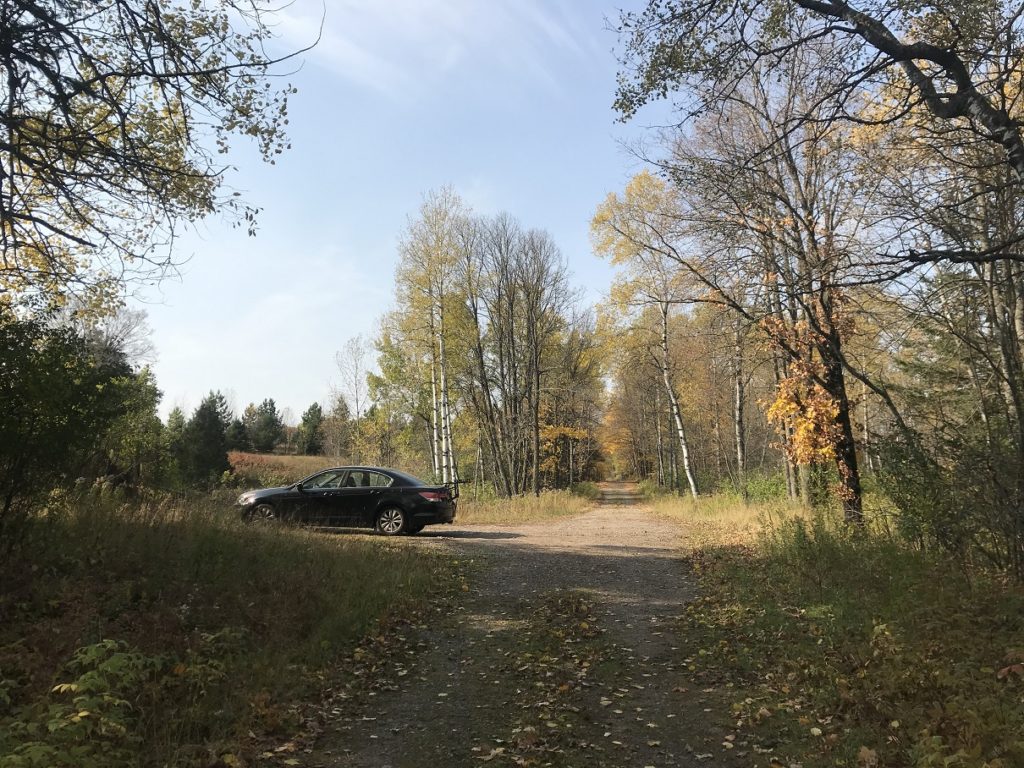
Having avoided an ignoble end, I continued downriver, ran a fun class II rapid, and paddled to the landing across a lake scattered with fallen leaves. After deflating my kayak, I began the ride back to my car. Although I had only kayaked 14 miles, the bike shuttle was a whopping 25 miles, the last six on gravel. This ride was made still lengthier by a stiff headwind, which whipped dust into my eyes. At least the fall colors were nice.
10-10
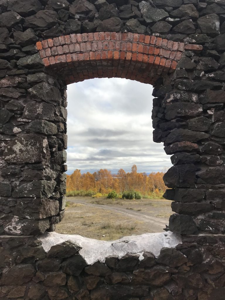
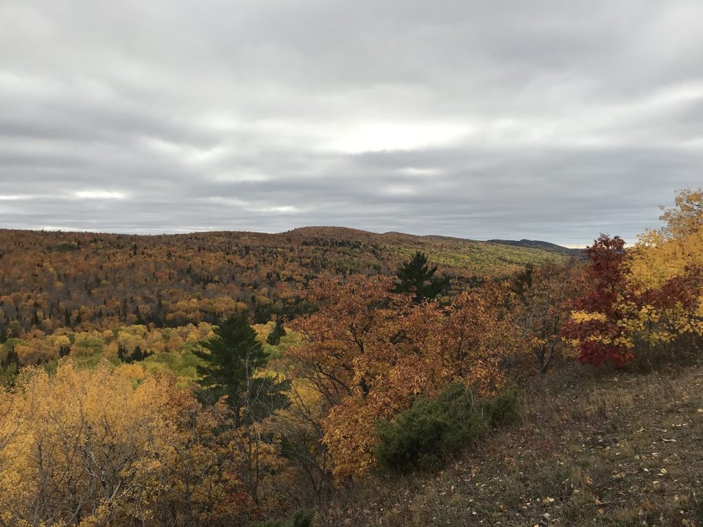
Although I’ve spend a fair amount of time in the Upper Peninsula of Michigan, I had never visited the Keweenaw Peninsula. This is the northernmost part of the U.P., hilly, heavily wooded, and honeycombed with abandoned copper mines. Although the Keweenaw’s only exports these days are maple syrup and Lyme disease, it was once one of the wealthiest mining districts on Earth. The impressive business districts of towns like Houghton and Laurium attest to this vanished prosperity. So do the few mines open to tourists. At one of these – Adventure Mine, near Mass City – I began my busy day trip.
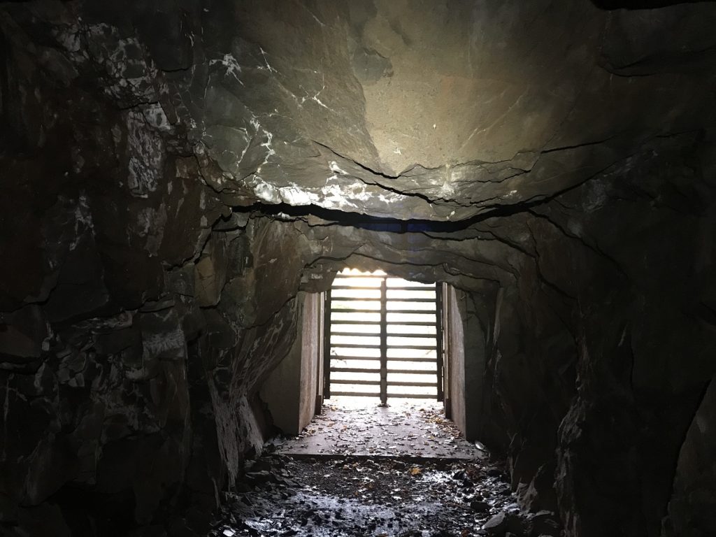
Adventure Mine (the original name) operated for about 70 years, closing after the First World War. It was a relatively small operation, with only 13 levels. Like most Keweenaw copper mines, it never turned a profit. It is, however, well-preserved, and offers a fascinating look at the grim realities of the Michigan copper boom. Joining a small group of masked retirees, I toured the first level. Here and there, nodules of native copper shone in the walls. Bats screeched in the cavernous stopes. The highlight of the two-hour tour, however, was probably the impressive view from the mouth of the waste rock tunnel.
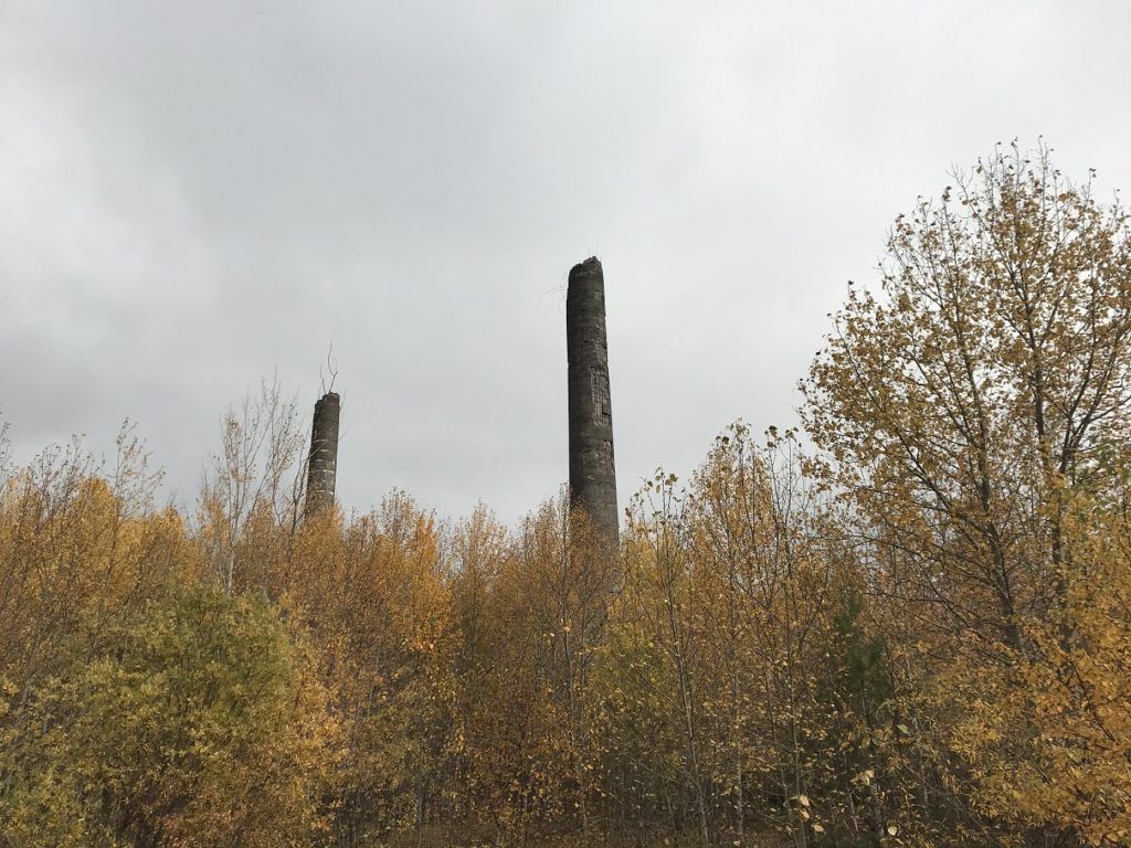
There were many other impressive views as I continued north. Although heavy banks of clouds lingered over Lake Superior, the sky overhead was clear. The maples were brilliant against the blue sky. The sun was still shining as I wound through Houghton, the metropolis of the Keweenaw. But broken clouds swept overhead as I crested the hill over the town, and pulled into parking lot for Quincy Mine. This is probably the most famous mine in the U.P., and offers guided tours of the buildings and tunnels. I was more interested, however, in the atmospheric ruins that surround the well-maintained center of the complex.
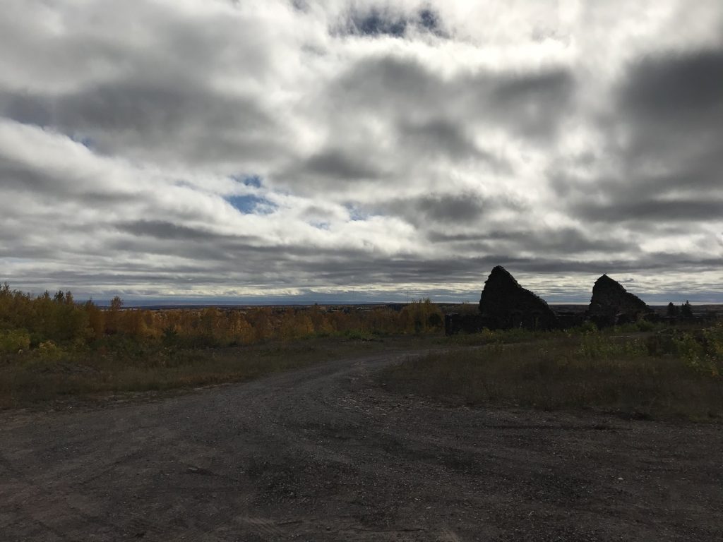
I especially liked the crumbling twin chimneys of the ore smelter, which loomed from the birches like Roman columns.
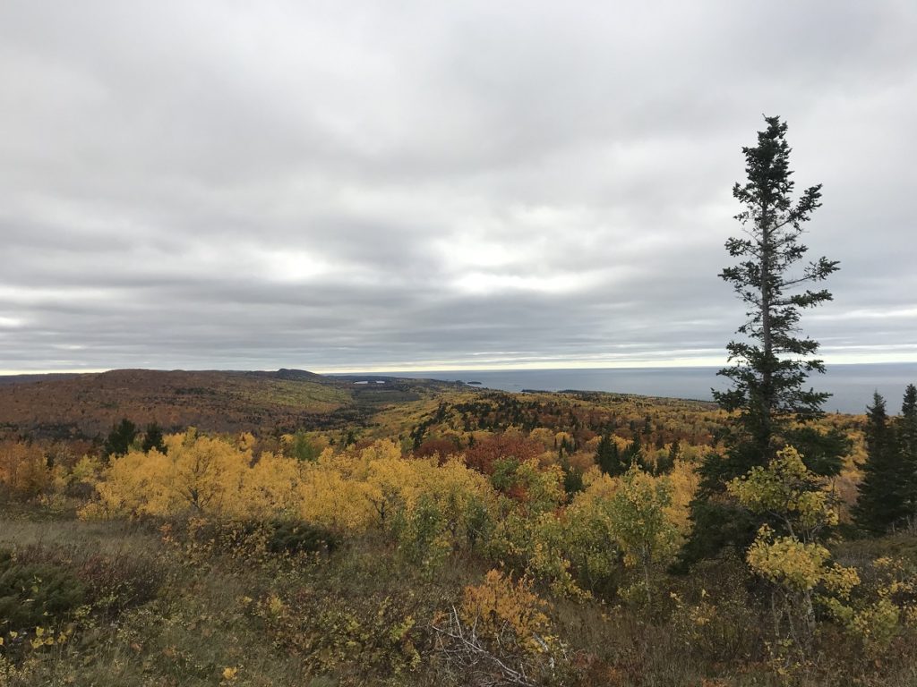
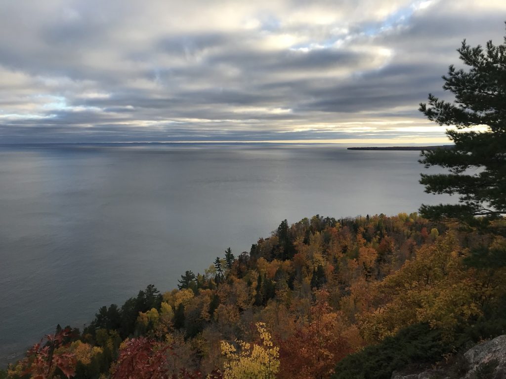
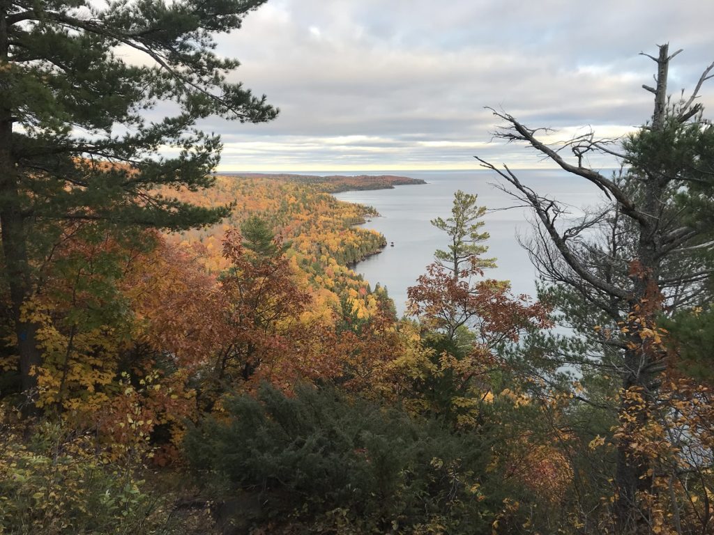
Continuing north, I stopped in the faded town of Laurium for a pasty, a sort of plus-sized hot pocket that originated as a miners’ lunch. This particular pasty was long on potatoes and short on everything else. But it was certainly filling. Farther along US-41, past the ghost town of Central, I detoured west to the pebbly lakeshore. Then, after a few pictures of an iron ore freighter on the pale horizon, I continued onto Brockway Mountain Drive, one of the Upper Midwest’s most famous scenic drives. Despite the clouds, the colors were fantastic.
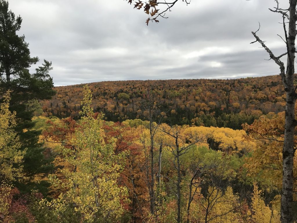
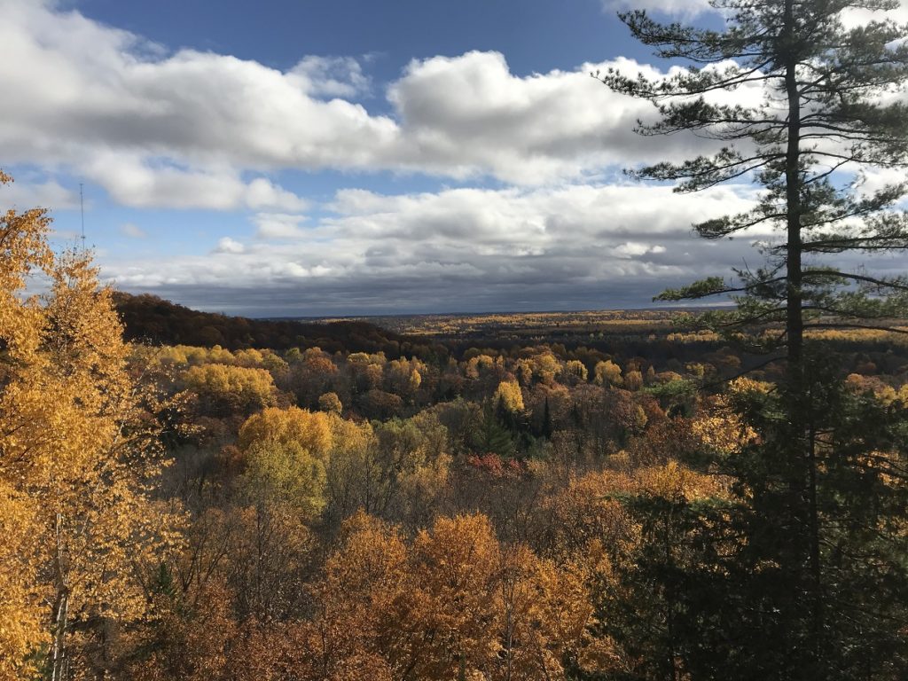
At the end of the road, on Brockway Mountain itself, an overlook afforded awesome views down the spine of the Keweenaw and along the lakeshore. I was reminded of the Oberg Mountain hike in northern Minnesota.
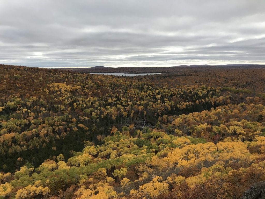
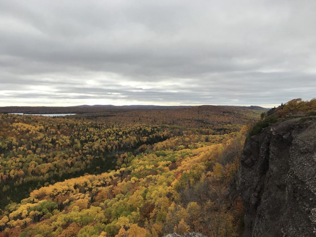
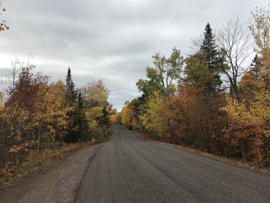
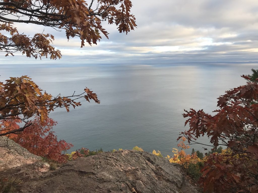
After continuing to the end of the road in touristy Copper Harbor, I followed a gravel track to Bare Bluff.
Pulling into the mostly-empty lot – it was nearly sunset, and I was last hiker of the day – I raced up to the top of the bluff. Emerging from the stained-glass gloom beneath the trees, I found myself hundreds of feet above the lake. Superior stretched away to the eastern horizon, dancing with the rays of the setting sun. On the slopes below, the woods dissolved into twilight.
10-11
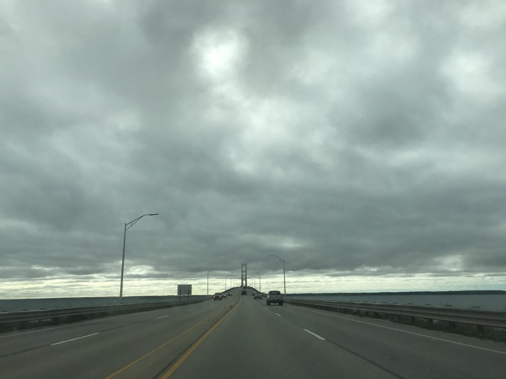
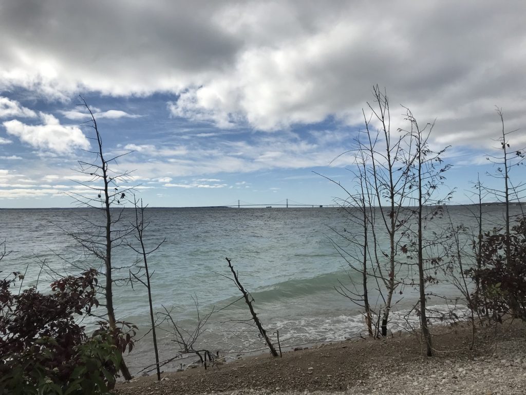
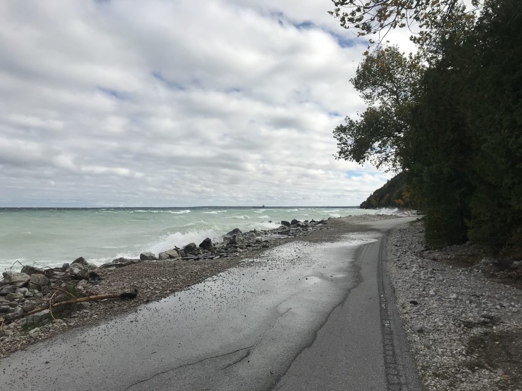
With a long drive ahead of me, I left well before dawn. Following US-2, I drove east through northern Wisconsin and the eastern U.P., colors brilliant in the endless woods along the road. For a long stretch, the road paralleled the northern shore of Lake Michigan. A strong wind had sprung up, and endless ranks of whitecaps rolled beneath a sea of broken clouds. Even Mackinac Bridge seemed to be swaying in the wind.
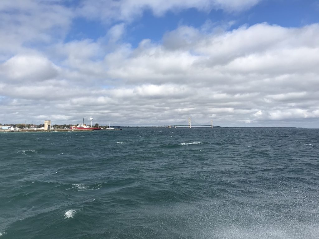
The wind was even stronger in Mackinaw City, where I bought a ticket for the next ferry to Mackinac Island. As I stood in line, I watched huge waves smashing into the ferry dock, and wondered how rough the ride would be. As it turned out, very rough. The ferry pitched and rolled, and spray exploded over the open second deck every time it caught a swell crosswise.
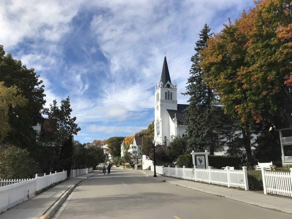
I had – somehow – never visited Mackinac Island. As anticipated, it was the quaintest little tourist circus you ever saw, with horse-drawn cabs and the aroma of fudge winding through crowds of tourists.
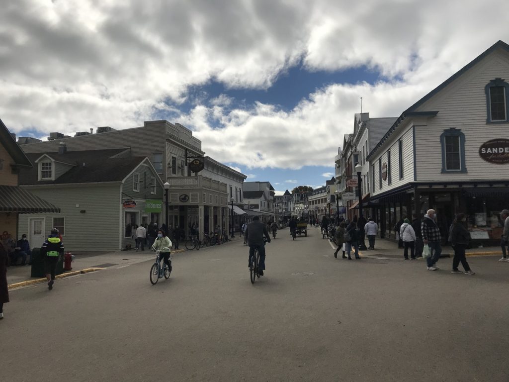
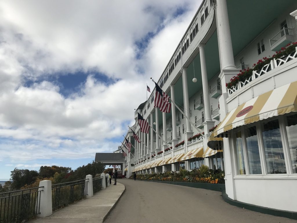
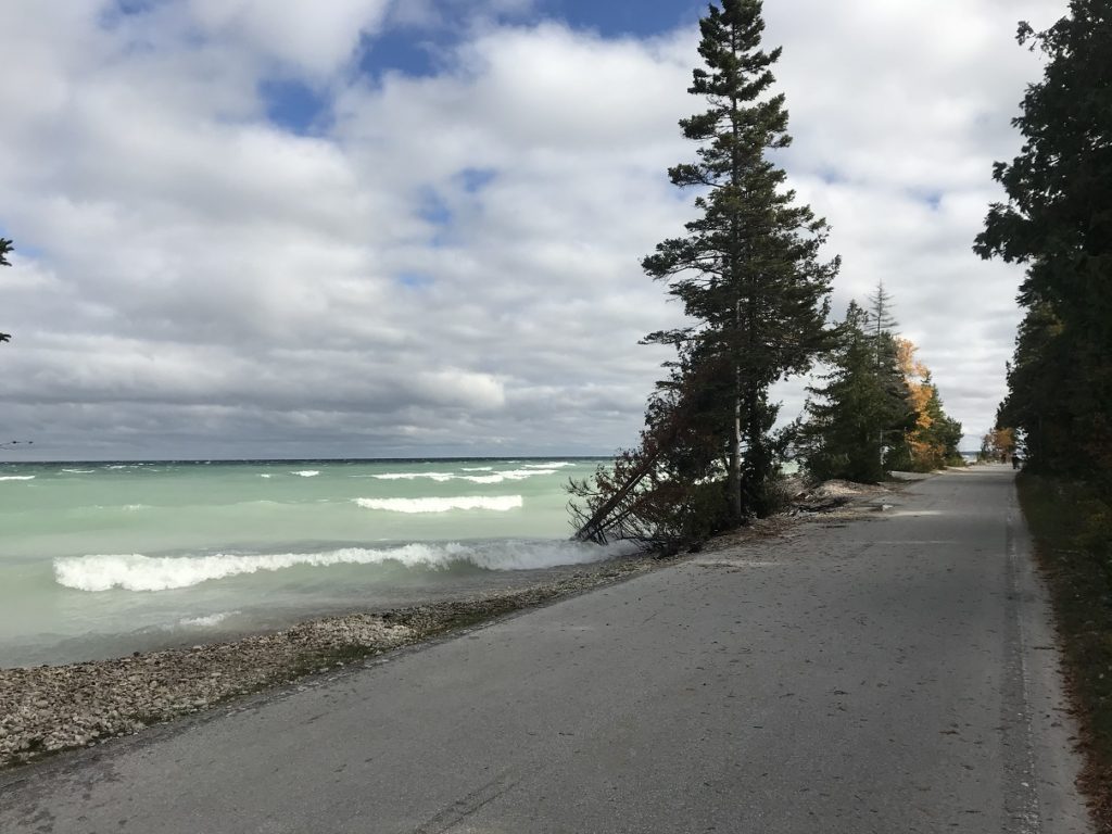
I liked the island more as I rode my bike farther from the ferry landing. After being shooed away from the famous Grand Hotel (as a matter of principle, I refused to pay $10 to walk around the public rooms), I made a leisurely circuit of the island. I especially liked the undeveloped eastern shore, where huge swells off Lake Huron smashed into the shore and sent spray over the path.
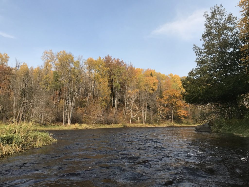
After another bumpy ferry ride back, I headed south. I stopped at power blue Torch Lake, where waves splashed among the pines. Continuing on to Traverse City, I camped in a quiet state park, ate at a drive-in, and planned the last day of my trip.
10-12
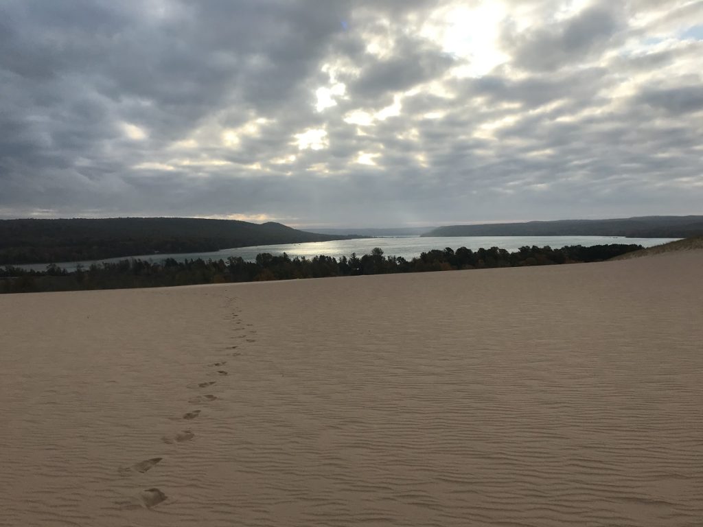
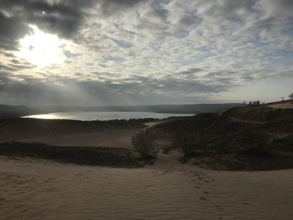
Rain was forecast for the afternoon, so I headed to Sleeping Bear Dunes soon after dawn. To get a sense of the landscape, I decided to do the dunes climb – a two-mile scramble to the lakeshore over shifting hills of sand.
I was reminded, inevitably, of the Indiana Dunes. A steady wind whipped sand over my bare feet, stinging my bare calves and ankles. Here and there, the leaves of cottonwoods fluttered in the coppery morning light.
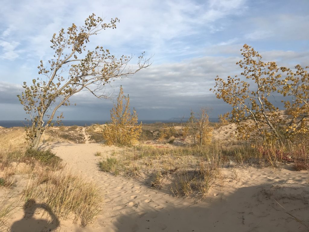
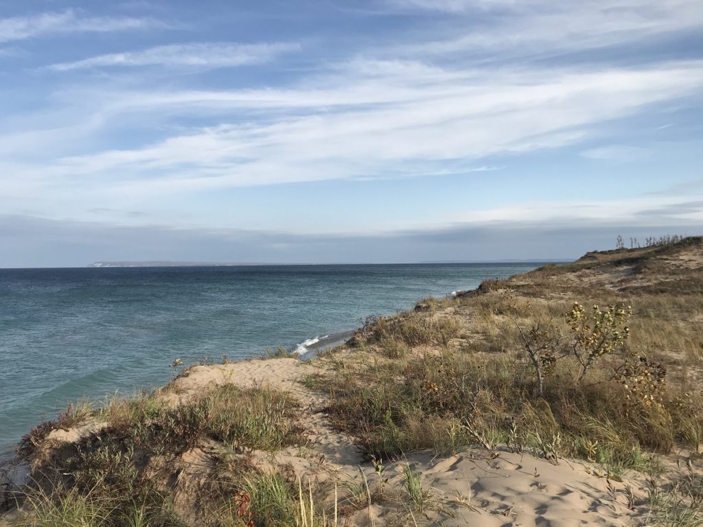
At the trail’s end, I walked down to the shore. For a few minutes, I let cool waves wash over my feet. Then I started back upslope, trails of sand streaming down the dune face in my wake.