5/19 – 5/21/21
5-19
Shortly after I crossed the Colorado border, a line of snowy peaks appeared on the horizon. They steadily drew closer – and then, all at once, I was among them, following a rushing river lined by winter-bare aspens.

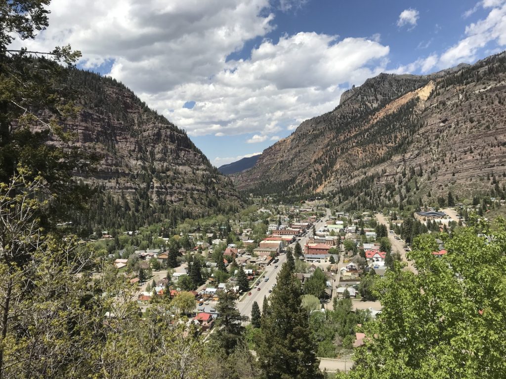
After a few dozen twists and turns, I pulled into Telluride, where every pedestrian seemed to be a tanned twentysomething winter sports enthusiast. Left knee throbbing, I ate some very good (but pricey) tacos, and headed over the city campground.
5-20
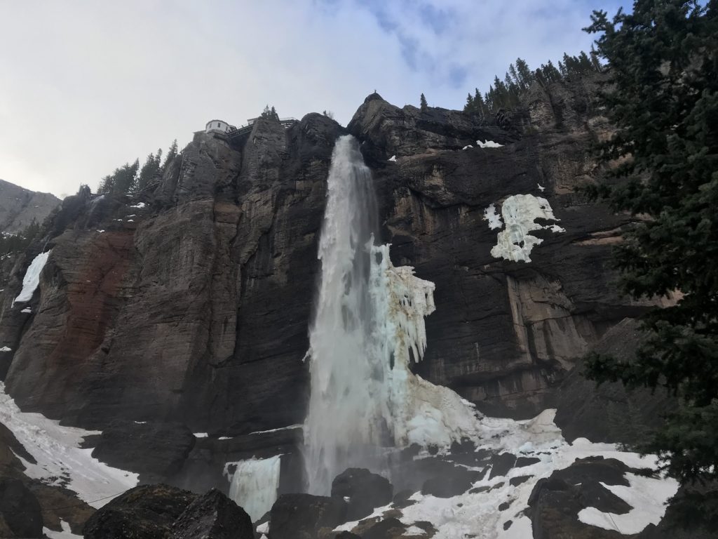
As usual (the Subaru has no curtains), I was up at first light. Since the temperature was just above freezing, I put on my cool weather hiking gear before making the short drive to Bridal Veil Falls, a 365-foot cascade at the head of the valley in which Telluride sits.
Although the trail to the falls was still covered with snow, the rough gravel access road was more or less clear. I had discovered that I could walk without pain if I held my left leg more or less rigid. So, stiffly but steadily, I stumped the mile and a half up to the base of the falls. The road was straightforward enough, though blocked occasionally by remnant snowdrifts and avalanche debris. And the falls more than justified the effort. Still partially frozen, with huge masses of ice at their base, they thundered down from the mountains with a force that sent clouds of spray flying in every direction.
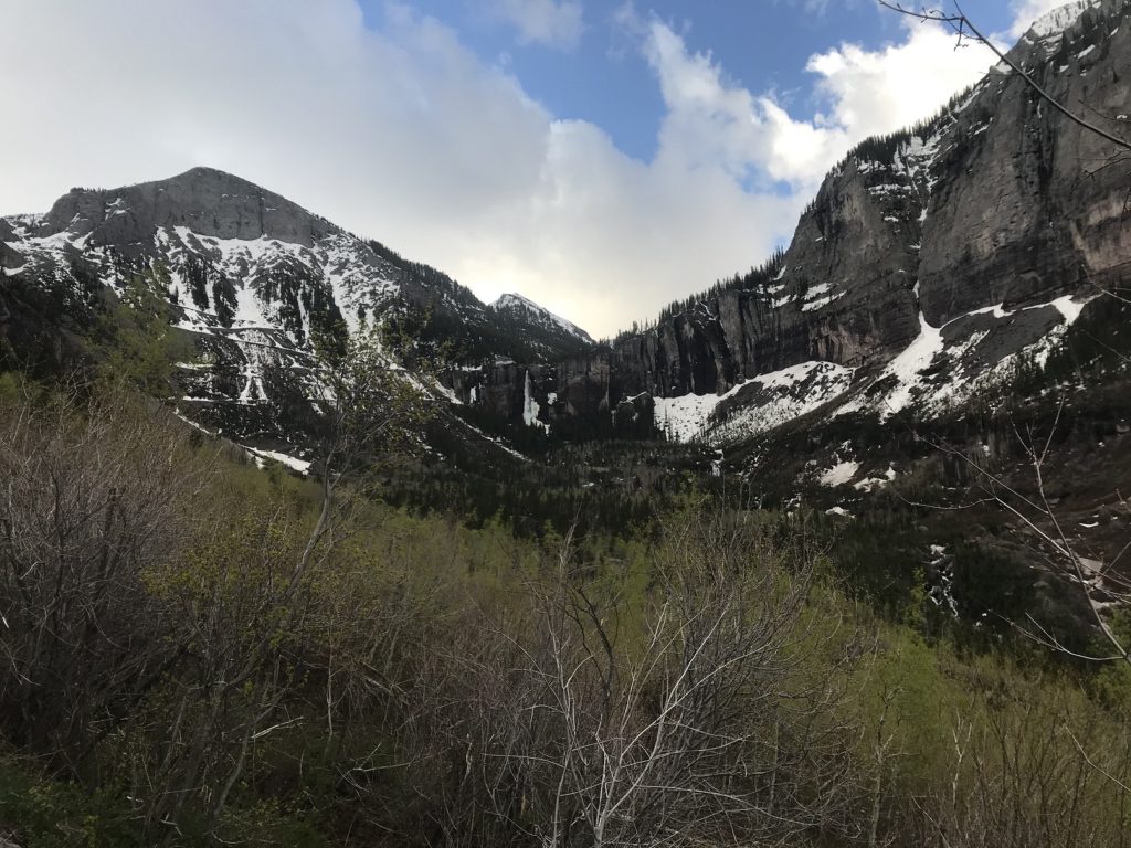
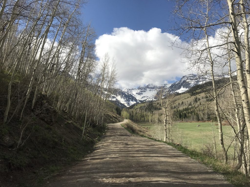
Deciding that my leg was, if nothing else, not appreciably worse after my trip to the falls, I decided to attempt at least part of the other hike on my itinerary: the Blue Lakes trail, deep in the wilderness east of Telluride. Getting to the trailhead was an adventure in itself, since it required driving 10 miles up a rock-strewn and profoundly potholed access road. The views through my lurching windshield, however, were almost enough to distract me from the damage I was doing to my car’s undercarriage.
The parking lot for the trail was still half-covered with snow – not an encouraging sign. Sure enough, the trail – which climbed steeply through stands of fragrant pines – was also incompletely thawed. From about two miles out and a thousand feet up, it was completely covered in deep snow.
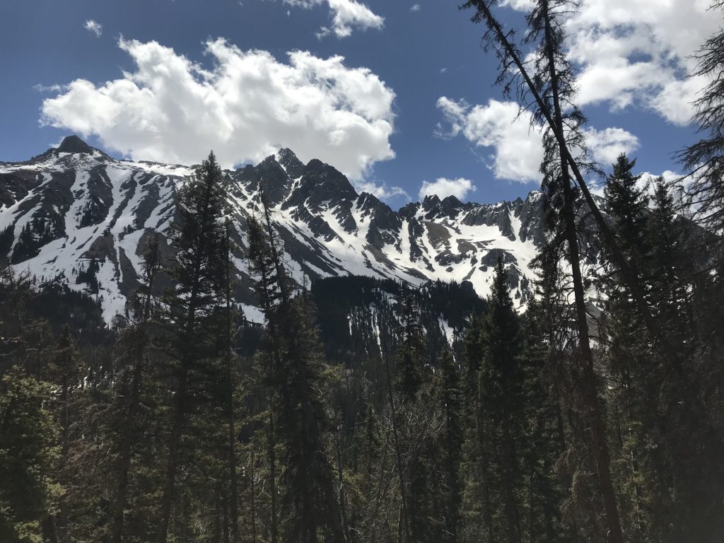
I struggled through the drifts for a while. Then, after sinking almost to my waist, I decided to cut my losses and turn around. As I made my way back down, leaning heavily on my hiking sticks to avoid putting pressure on my left knee, I wondered idly how much farther I would have gone if my leg hadn’t been injured.
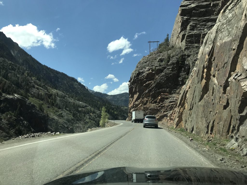
I continued through the picturesque mining town of Ouray (“America’s Switzerland”), and up the Million Dollar Highway – named, supposedly, for the amount spent blasting every serpentine mile out of the rock.
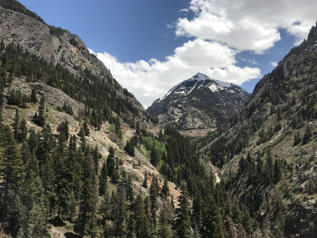
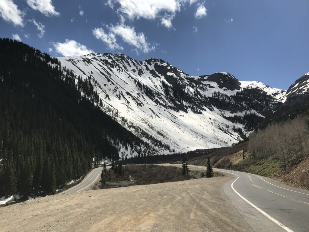
Each curve revealed new wonders: crashing waterfalls, plunging valleys, soaring mountains. Here and there, remnants of disused mining operations rusted and rotted by the roadside. The highway was missing only one thing: guardrails.
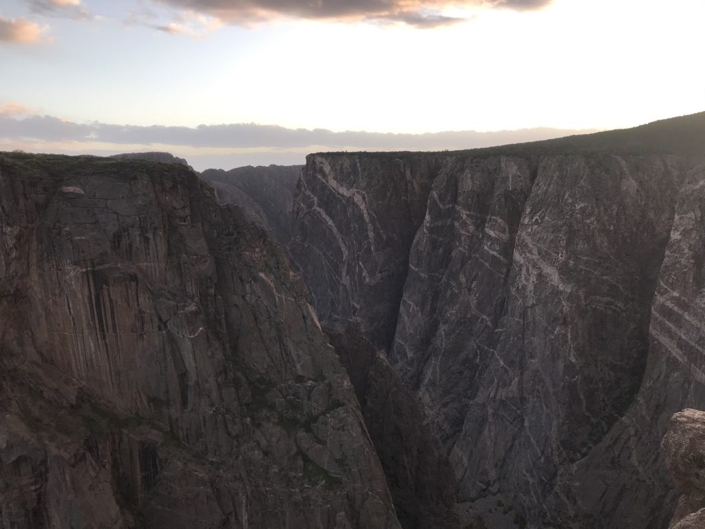
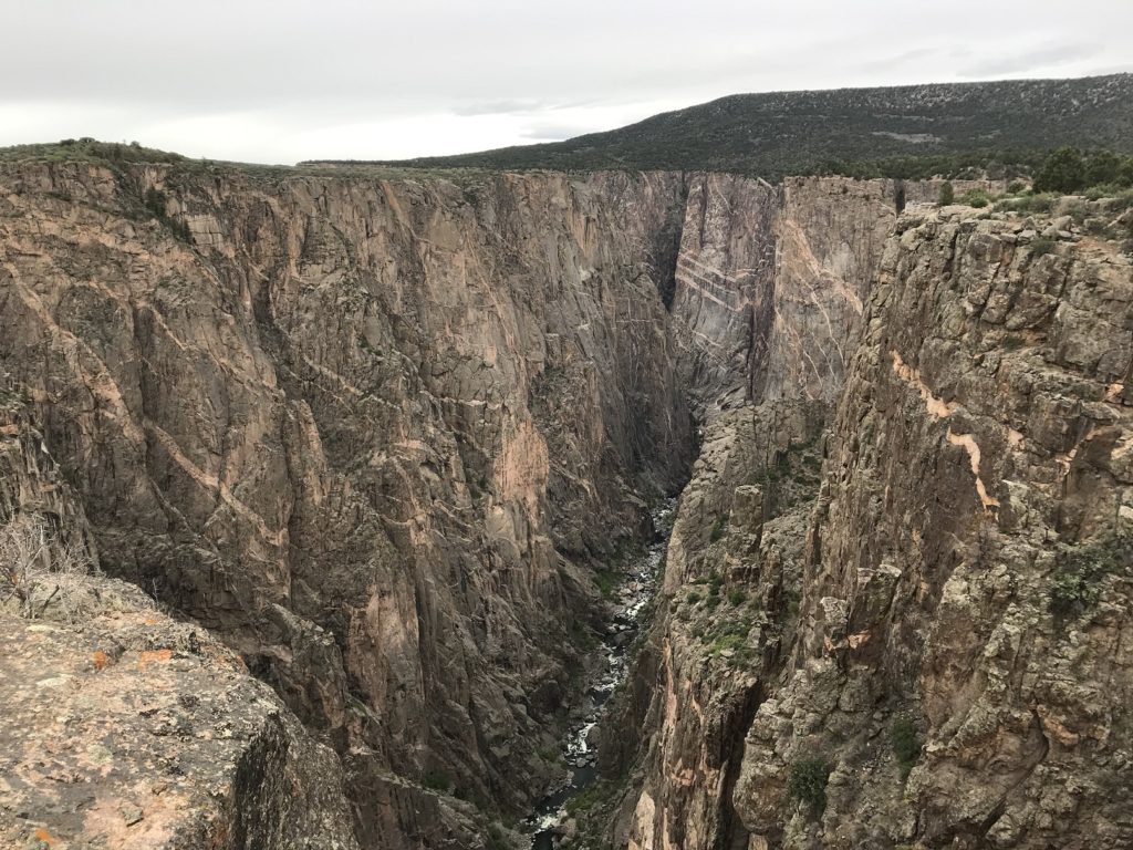
The day’s final destination was the north rim of the Black Canyon of the Gunnison, about 100 miles from Ouray down a series of quiet country roads. The only campground on the north rim is a first-come, first-served facility – and I was just in time to claim the last available spot. Shortly before sunset, I walked down the trail leading to the canyon rim from campground. I had seen the canyon before. But to see it now – with those plunging sides, nearly a half-mile deep, wreathed in the shadows of twilight – was a very different experience, and an unforgettable one.
5-21
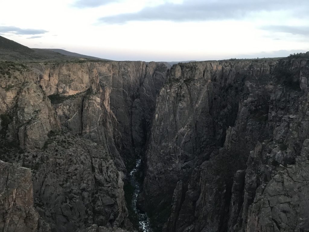
Up before dawn again, I drove a short distance to the head of the North Vista Trail, which parallels the canyon rim. As I walked, I was repeatedly struck by how elemental the canyon seemed – that dark Precambrian stone, webbed with glowing mineral veins, looked like the very primeval gut-rock of the world. The effect was especially overpowering at Exclamation Point, where hikers are treated to a vertigo-inducing view of the river frothing 2,000 feet below.
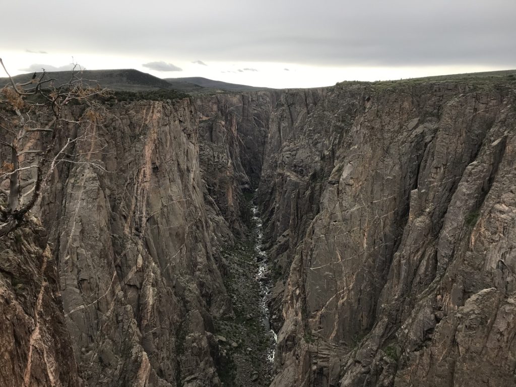
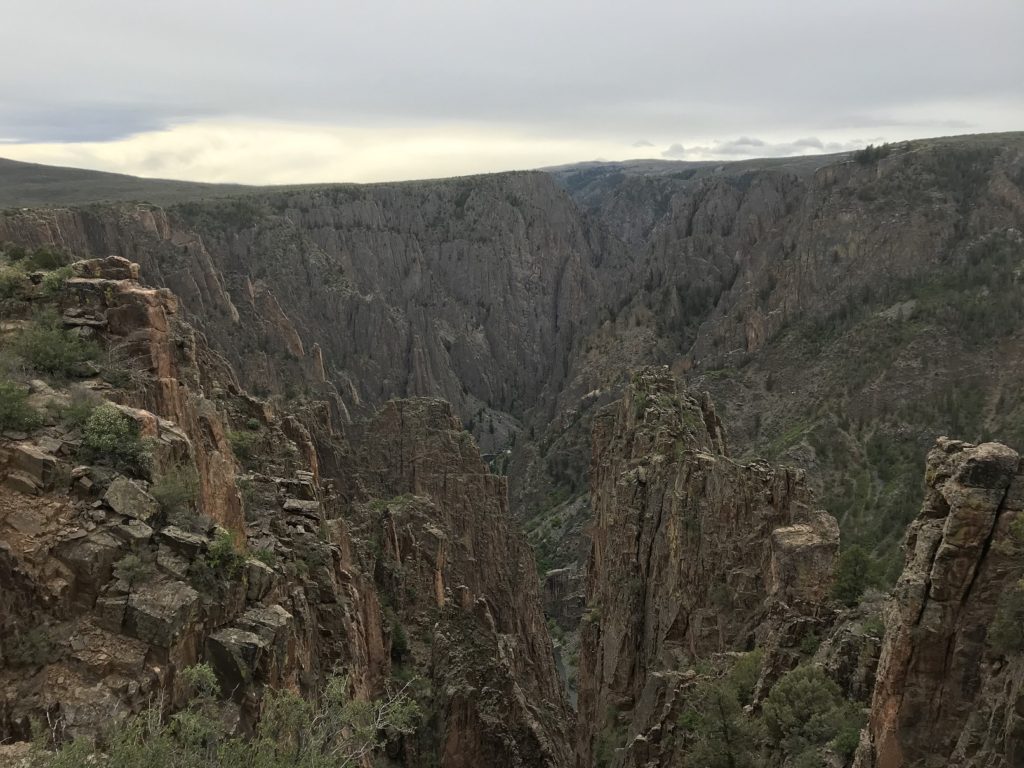
Feeling the familiar twinge in my knee, I turned back to the trailhead and took a leisurely drive up the gravel North Rim Drive. I stopped at a half-dozen overlooks, each more jaw-dropping than the last. The entire time, I saw no other visitors.
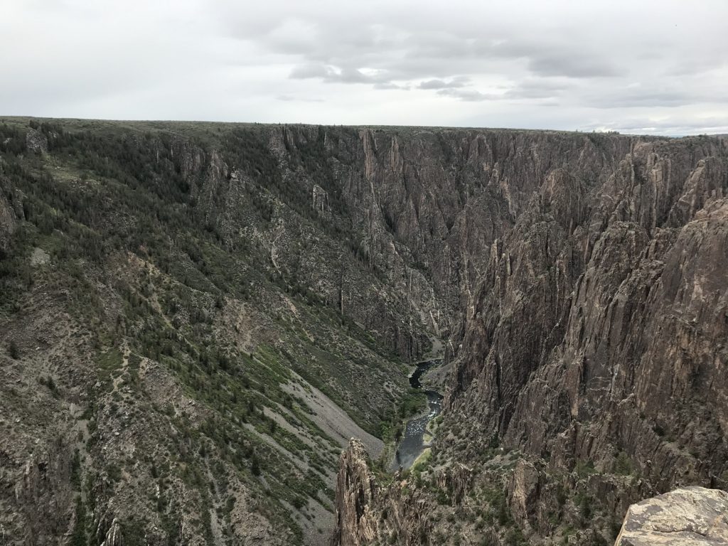
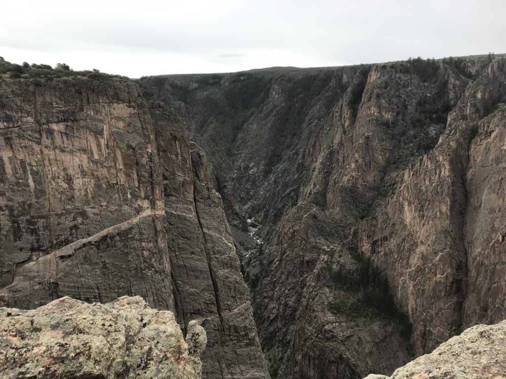
At the last overlook, after parking a few feet from the canyon edge, I ate my customary peanut butter sandwich and planned the rest of my day. I had hoped to trek down to the canyon floor. But with my leg out of commission, I decided that the only viable option was to head toward the evening’s campsite, exploring a few of the ski towns along the way.
The most memorable of these was Aspen, the quintessential luxury ski resort. Though relatively quiet now – the season is over, and the summer crowds haven’t arrived yet – Aspen looks like the millionaires’ playground it is, with BMWs in every parking lot and boutiques on every street. After gawking at a display of $10,000 road bikes, I skipped town, followed I-70 through a twisting river valley, and made my way to the windy campground where I would spend the night.
<<< Red Rock Redux